Archive
Summer coolest in nearly 20 years
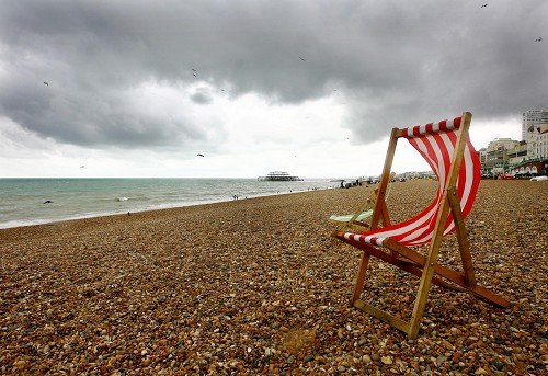
 This summer is set to be Britain’s coolest in nearly 20 years, the Met Office said.
The mean temperature for summer 2011 has been 13.63C (56.53F), close to 1993’s 13.39C (56.1F), provisional figures for June 1 to August 29 show.
Last summer’s mean temperature was more than 1C higher than this summer so far at 14.65C (58.37F).
But while the summer has been wetter than last year’s it has been considerably drier than 2007, 2008 and 2009, the forecaster said.
Figures show this summer has seen 267.7mm of rainfall so far, compared with Read more…
Before Hurricane Irene hits, New York planning to shut down transportation system, evacuate areas
 Astronaut Ron Garan tweeted this picture of Hurricane Irene from the International Space Station (NASA)The city is planning to shut down the entire transportation system on Saturday in anticipation of Hurricane Irene‘s arrival, officials revealed Thursday.
A mandatory evacuation of all nursing homes in flood-prone areas of the city was also ordered Thursday.
The monster storm is expected hit New York as a Category 1 storm sometime Sunday, barreling in with winds of 90 miles-per-hour and torrential rains.
Mayor Bloomberg said Thursday that it was “very conceivable” that he will order a mandatory evacuation of all low-lying areas of the city by Saturday.
“The storm is predicted to be very dangerous,” the mayor said.
As the storm finished ravaging the Bahamas Thursday and set its Read more…
State electric grid strains amid record heat; Austin breaks 86-year-old record
 It was so hot Wednesday that power plants across the state stuttered amid high demand, prompting the manager of the electric grid for much of the state to order about 100 large industrial customers to shut down for more than two hours as electricity reserves dipped dangerously low.
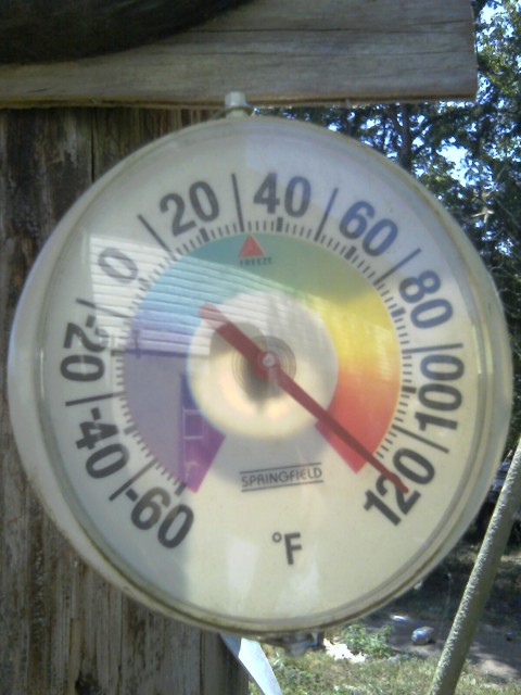
In Austin, temperatures Wednesday reached 106 at Camp Mabry — the 70th day of triple-digit heat, breaking an 86-year-old record.
The Electric Reliability Council of Texas declared a Level Read more…
More Snow On The Way For New Zealand

A new blast of cold weather gripped New Zealand over the weekend as the coldest winter in many years continued to affect large swathes of the country. Snow is currently falling in the South Island and in southern parts of the North Island too, with the northern city of Auckland seeing its first snow since 1939. Sunday saw Wellington’s greatest snowfall for 30 years.
July 22 – 25th was previously the coldest snap since 1995, with snowfall causing disruption across the South Island and some parts of the North Island. Today’s snowfall been more widespread, however, and snow was reported down to sea level in the city of Wellington and other parts of the North Island. The New Zealand Met Serviceis predicting falls of 20 – 35 cm above 300 m in the Wellington area, with lesser falls continuing at lower levels.
A Severe Weather Warning issued Sunday evening stated “An extremely cold Read more…
Heat wave chokes southern U.S.
 The suffocating heat wave sweeping the southern U.S. that has led to at least four deaths and left farmers’ fields bone dry shows no signs of abating as temperatures continue to reach record highs and electricity demand threatens to cripple the power grid.
The National Weather Service issued yet more excessive heat warnings Thursday for most of the southern plains, where the temperature in parts of Kansas, Oklahoma, Arkansas, Tennessee, Mississippi, Louisiana, and Texas reached as high as 43C, without the humidex.
Southern parts of California and Arizona in the west and Georgia, Florida and the Carolinas in the east also fell under heat advisories, while municipalities and counties scrambled to open cooling centres and make house calls on vulnerable residents.
Dallas marked its 34th straight day of temperatures over 38C, while on Wednesday, Fort Smith, Ark., saw the temperature reach 46C without the humidex, breaking a record of 42C set back in 1896.
As if things couldn’t get any worse, Florida residents are bracing for the Read more…
Extreme weather causes chaos in South Africa

A massive swirling and circulating electrical storm cell rolls across the South African landscape and packs some massive lightning strikes along with it. This weather phenomenon is a common sight in the Highveld region of South Africa during the summer rain months.
Extreme weather conditions this week left a trail of chaos and confusion with snowfalls in three South African provinces leaving thousands trapped in their homes, cars and buses as emergency workers battled to reach them.
Major roads were shut in the Eastern Cape, Free State and KwaZulu-Natal after blizzards hit. It took emergency services more than six hours to clear through kilometres of snow and heavy wind to rescue trapped motorists and commuters. Netcare 911 spokesman Chris Botha said no serious injuries were reported.
The 5 South African Infantry Battalion of the defence forces was called in to assist motorists and three Read more…
Is the weather worsening?
 Extreme weather events occur every year in various parts of the earth, but the United States — and Missouri — have seen natural disasters strike its ground this year seemingly more often than not.The jury is still out as to what has caused these extreme events, pending major climatology studies that often take years to complete. Some say it’s due to a naturally variable earth, others argue it’s due to a changing climate, one that’s getting warmer and more intense, leading to weather events we’ve never seen, before calming down again.
Recent devastationMany scientists argue that 2010 was the most extreme year ever in terms of natural disasters across the globe. Devastating worldwide events made the headlines during what the National Oceanic and Atmospheric Administration said was the world’s warmest year on record (it tied with 2005).Among the most devastating were Pakistan’s flood, the most expensive natural disaster in its history, Russia’s deadliest heat wave in recorded history, and Read more…
The nine billion-dollar weather disasters of 2011 (so far); Invest 90L rises again
It’s been an unprecedented year for weather disasters in the United States, with the dangerous portion of hurricane season still to come. We’ve already seen nine billion-dollar weather disasters so far in 2011. The National Climatic Data Center (NCDC) June disaster report estimates that, through May, 2011 is the costliest year since they began tracking billion-dollar disasters in 1980. The cost of the disasters through May could be as high as $32 billion, compared to a typical year-to-date cost of $6 billion. 2011 to-date now ties the entire year of 2008 for the most billion-dollar weather disasters in one year. Of course, this number could go up if we see some hurricane landfalls this year.
Here are NCDC’s estimates of the top-end damages from 2011’s billion-dollar weather disasters so far:
![]()
Missouri River Flooding
Snowfall was abnormally heavy in the Rocky Mountains of Montana and Wyoming this past winter (over 200% of average), and record rains fell over the Upper Read more…
Never Mind Bret, Season is Just Getting Started
 The circle gets the square, or in this case, the big red circle near Africa has room to become the strongest feature yet for the 2011 season.
“A stronger tropical wave now over the eastern North Atlantic might be a feature to watch during the next week or so.”While Bret is now pushing out to sea and remains no threat to the mainland U.S., indications continue to point toward a busy August and September as far as hurricanes are concerned.
A sizable tropical wave has rolled westward, off the coast of Africa, and bears watching as it cruises along through Antilles waters this weekend.
It is still a little early to expect much from the Cape Verde area, but one of the tropical waves could help to breed a tropical cyclone in the southwestern part of the Atlantic Basin by next week.
According to Tropical Weather and Hurricane Expert Meteorologist Dan Kottlowski, “A stronger tropical wave now over the Read more…
2011: Headed for Record Arctic Melt?
 July 11, 2011: Arctic sea ice, seen by satellite. Credit: NASA.
This year could be well on its way toward earning a dubious spot in the record books.
Arctic sea ice has melted away with astonishing speed in the first half of July, at an average rate of about 46,000 square miles (120,000 square kilometers) per day, according to the National Snow and Ice Data Center (NSIDC) in Boulder, Colo.
That’s equivalent to an area roughly the size of Pennsylvania melting into the sea every 24 hours.
“That’s relatively fast,” said Julienne Stroeve, a research scientist at the NSIDC.
Already, sea ice extent — how far ice extends across the ocean — this year is below the extent for the same time in 2007, a year which, in September, saw the lowest sea ice coverage ever recorded.
As of July 17 this year, sea ice covered 2.92 million square miles (7.56 million square kilometers) of the frigid Arctic Ocean. That may sound like a lot, but it’s 865,000 square miles (2.24 million square kilometers) below the 1979 to 2000 average.
However, Stroeve said, much of what Read more…

![[Most Recent Quotes from www.kitco.com]](https://i0.wp.com/www.kitconet.com/charts/metals/gold/t24_au_en_usoz_2.gif)
![[Most Recent Quotes from www.kitco.com]](https://i0.wp.com/www.kitconet.com/charts/metals/silver/t24_ag_en_usoz_2.gif)

You must be logged in to post a comment.